


Light snow and sleet have been forecast by the Met Office.
Forecasters say outbreaks of rain will move in during Monday evening and overnight which could turn wintry over the hills.
There is a risk of sleet and light snow on Tuesday morning.
Met Office Chief Meteorologist Dan Suri said: “Snow, ice and low temperatures are the main themes of this week’s forecast, as the UK comes under the influence of an arctic maritime airmass as cold air moves in from the north.
“Snow is already falling in parts of the north where some travel disruption likely, as well as a chance of some rural communities being cut off. Snow showers will continue through today and Tuesday here, and Northern Ireland will also be subject to some snow showers, especially over high ground.
“Ice will provide an additional hazard for many with overnight low temperatures well below 0°C for many. Further south wintry hazards will develop with parts of England and Wales affected by icy patches and snow in places tonight and likely further snow in parts of the south early Wednesday.”
 Return of 'park pop-ups' for local businesses
 Bucks Labour MPs demand urgent clarity on Buckinghamshire Family Hub
 Council launches new Growth Fund to boost the county's economy
 Support for Buckinghamshire households that use heating oil
 Ward councillor announces party switch
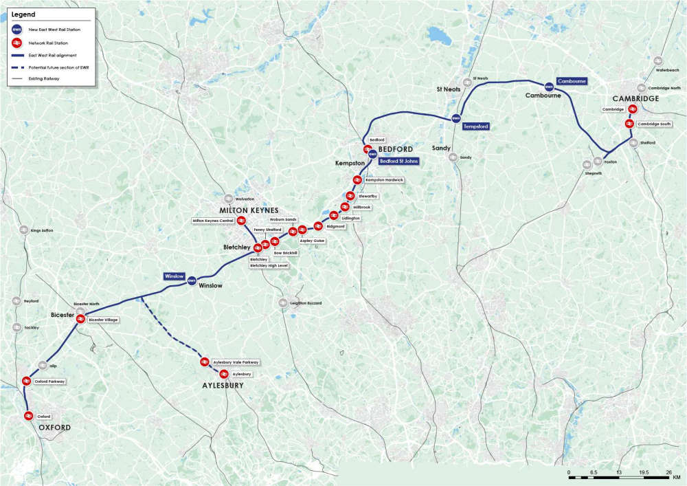 Lead Environmental Regulator for East West Rail
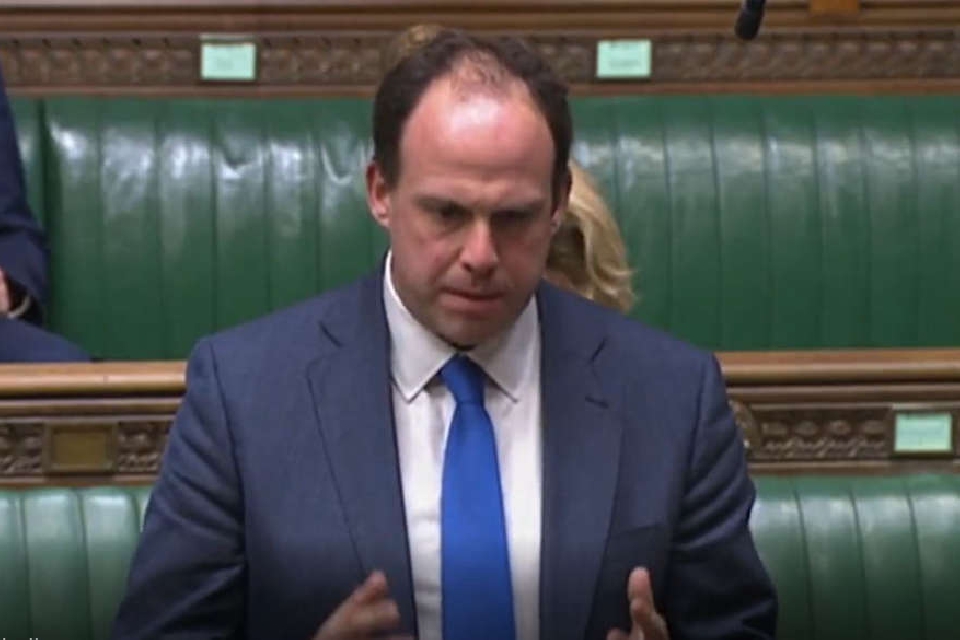 Bucks MP criticises Fire Authority's future plans for cutbacks in Parliament
 The Chilterns Neuro Centre raises £23,000 using creativity